
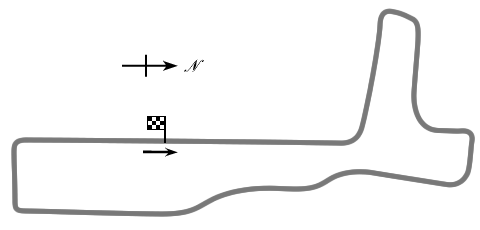
Torrey Pines was a 2.7-mile road course in north San Diego, CA, used from 1951 to 1956.
This page was contributed by Guy Watney, Kansas City Region SCCA.
New: 2005-09-09 Last Updated: 2007-09-15
Torrey Pines was located on the former Camp Callan artillery training center. The site was plowed up to make way for a golf course in the late 1950s.
You may also wish to try using the Yahoo! Search as it may produce current news items.

This work is licensed under a Creative Commons Attribution-NonCommercial-ShareAlike 2.5 License.